
 Share This Page
| Home | | Sailing | | Alaska 2015 | | | Share This Page |
Copyright © 2015, P. Lutus. All rights reserved. Message Page
| Prior years: |
Alaska 2002 |
Alaska 2003 |
Alaska 2004 |
Alaska 2005 |
Alaska 2006 Alaska 2007 | Alaska 2008 | Alaska 2009 | Alaska 2010 | Alaska 2011 Alaska 2012 | Alaska 2013 | Alaska 2014 |
(double-click any word to see its definition)

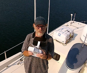
Launching quadcopter on a windy day
This year's Alaska expedition was dramatically different from those of past years. I've recently gotten interested in quadcopters and in a kind of photographic image called a "photosphere," and during this season in Alaska I used my quadcopter to create many useful, sometimes beautiful, aerial photospheres. Here's one reason why:
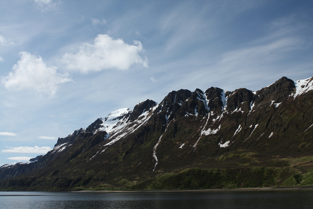
In past years, if I wanted to show a pretty Alaska landscape, I would take a picture and publish it here — like this (Geographic Harbor on the Alaska peninsula):
But this season, to take a landscape picture, I would launch my camera-equipped drone, fly it up to a suitable altitude, and take a series of pictures to be assembled into a sphere of images — a "photosphere." Images like this:
Geographic Harbor, Alaska peninsula
Use your mouse to navigate the image above. Drag your mouse to pan around the image, and use your mouse wheel to change magnification (on touch-screens, use two fingers to zoom in and out). Notice the full-screen control at the upper left. And if you pan directly down to the photosphere's axis of rotation, you will see my boat.
This new technology is a game-changer — it allows quick, inexpensive land surveys providing details that are inaccessible from the ground and unavailable from satellite imagery. On any number of occasions I found a new route through the rough Alaska terrain by examining these aerial photospheres.
Important: these articles cover only the best of my many Alaska photospheres. For a full selection including images from Canada and Washington State, visit my Photosphere Gallery page.
So this year, my "Alaska" article set is about ... Alaska? ... photography? ... ways to find new hiking trails? ... quadcopters and drones as camera platforms? ... new display technologies/formats like photospheres? Well, yes — all of the above.
| Home | | Sailing | | Alaska 2015 | | | Share This Page |