

 Share This Page
| Home | | Sailing | | Alaska 2016 | | | | Share This Page |

Copyright © 2016, P. Lutus. All rights reserved. Message Page
| Prior years: |
Alaska 2002 |
Alaska 2003 |
Alaska 2004 |
Alaska 2005 |
Alaska 2006 Alaska 2007 | Alaska 2008 | Alaska 2009 | Alaska 2010 | Alaska 2011 Alaska 2012 | Alaska 2013 | Alaska 2014 | Alaska 2015 |
(double-click any word to see its definition)
NOTE: This Bainbridge Island is located in Alaska's Prince William Sound, it doesn't refer to the island near Seattle.
To get started, please look at this photosphere to get an overview of this beautiful, uninhabited island.
Bainbridge Island in Prince William Sound (PWS) is sufficiently remote from the few population centers in PWS that, on a given summer day, I might be the only person visiting this very large island. I've visited regularly over about fifteen years and have gotten to know it reasonably well, but my recent camera drone activity has taught me things I doubt I could have figured out without a photographic drone's help.
Here's a vertical panorama created from three drone images I stitched together using a free, terrific program called "Hugin", with marked routes (click the panorama to see it full size):

Be sure to also look at this photosphere, which gives a close-up view of the territory around the lake and nearby steep terrain and is a much more detailed view than these ordinary, flat photographs provide.
Over the years I've scouted a number of trails on this island, most of them not very efficient, with the eventual goal of dragging my kayak up to the little lake (about 1/2 trail miles and a 400 foot rise in elevation) and paddling along its length. This is one of my favorite Alaska activities — find an interesting lake not too far from salt water, then figure out how to get my kayak to it. (This is very hard on my kayaks, which require frequent replacement.)
In 2015 and this year, with the help of drone imagery for route planning, I finally managed to get my kayak to the lake, paddle to its far end, and step out onto a pretty, remote meadow at the lake's south end. Then, the day after the kayak outing and because the sun was still out (not so common in Prince William Sound), I used my drone imagery to scout and walk a trail up to the high country east of the lake:

Detail view of lake and high country (click for full size)
What's particularly instructive about the above image is that it shows a way to get to the high country east of the lake (the center of the image is south) while avoiding some nasty cliffs (a route marked in red in the above image) that had thwarted my earlier efforts to ascend to this island's higher elevations in years past. I should add that none of this detail is visible from the ground, either from my boat or by scouting on foot — aerial imagery is required.
A reader might say, "No big deal — just hire a plane and take your camera." Well, yes, that's one way to solve the problem. But consider that for the cost of one Alaska airplane ride, you can buy your own drone and fly it hundreds of times.
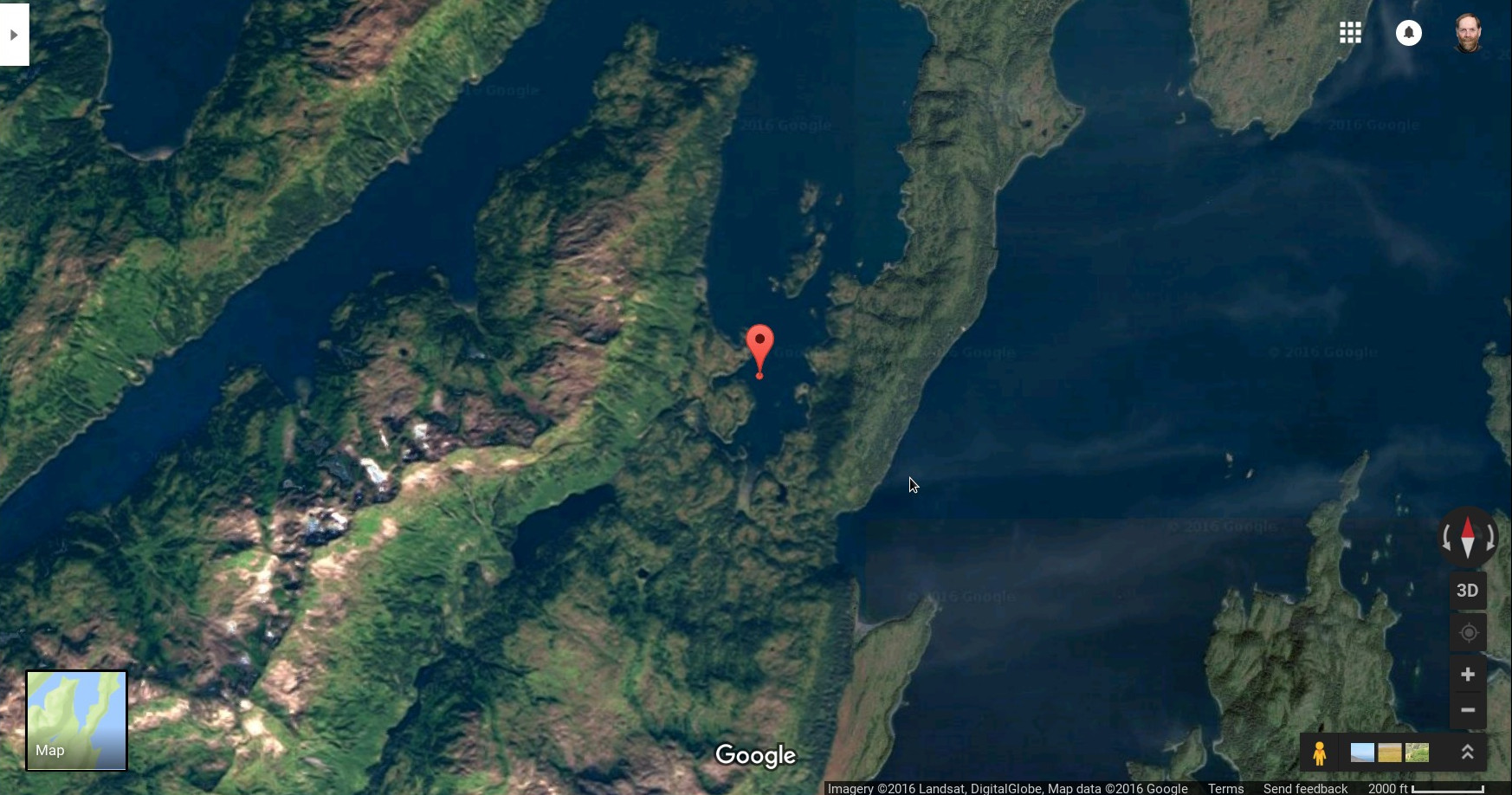
Someone might ask, "But doesn't Google Maps have satellite imagery of this part of the world?" Yes, they do, but it's of very poor quality, unusable for scouting trails or much else:
One more thing about Bainbridge Island. There are a few resident black bears, and I meet them on occasion. Because I visit in the spring and summer, there's a lot of food around, so the bears are in a general good mood and they seem rather peaceful. I should add that in 35 years of backwoods activity and bear photography I've never had a hostile bear encounter. But:
| Home | | Sailing | | Alaska 2016 | | | | Share This Page |